- Hem
- Böcker
- Facklitteratur
- Konst
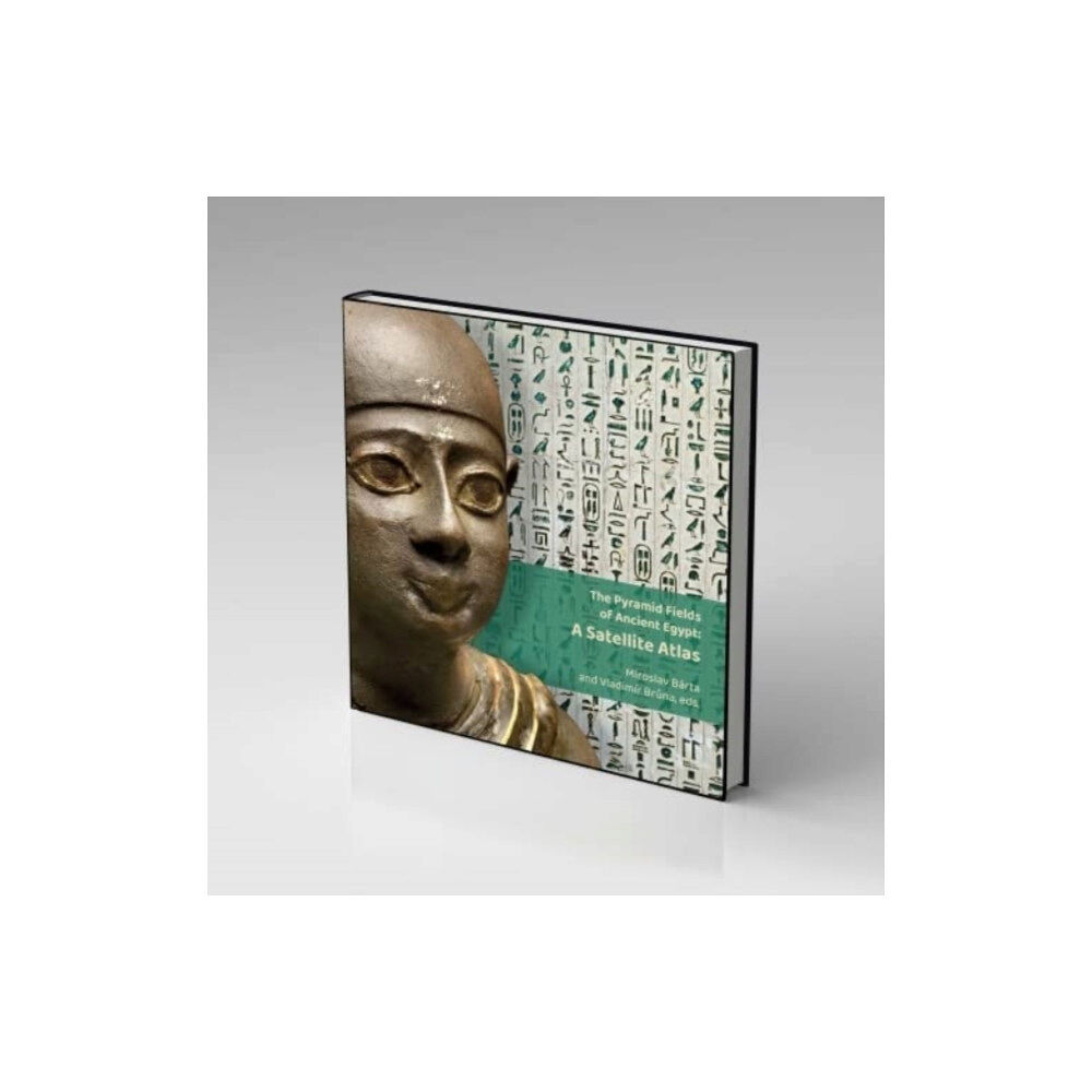
- The Pyramid Fields of Ancient Egypt: A Satellite Atlas (inbunden, eng)

The Pyramid Fields of Ancient Egypt: A Satellite Atlas (inbunden, eng)
This volume offers a valuable resource by compiling and interpreting high-resolution satellite images of all Old and Middle Kingdom pyramid...
1 885 kr
1 919 kr
Bara 3 kvar
Skickas inom 4 - 5 vardagar
- Fri frakt
Fri frakt över 399:-
Snabb leverans
Alltid låga priser
Produktbeskrivning
This volume offers a valuable resource by compiling and interpreting high-resolution satellite images of all Old and Middle Kingdom pyramid sites in Egypt. The sites included in this Atlas represent to a large degree the principal sites of the third- through the thirteenth-Dynasty.
Their particular characteristics mirror the specific periods of Egyptian history, providing a fascinating window into the incredible story of ancient Egypt. Sites covered include (starting in the north): Abu Rawash, Giza, Zawiyet el-Aryan, Abusir, Saqqara, Dahshur, Mazghuna, Lisht, Meidum, Lahun, Hawara and Abydos.
Also featured is the site of Abu Ghurob, with the two sun temples of Userkaf and Nyuserra of the fifth-Dynasty and the so-called minor step pyramids dating from the late third- to the early fourth-Dynasty. These start in Seila at the northeastern edge of the Faiyum Oasis and include – proceeding those of Zawyet Sultan – Nubt (Naqada), Abydos (Sinki), Hierakonpolis (el-Kula), Edfu (Ghonemeia) and Elephantine. The individual sites are characterised on the background of their local topography and changing nature of their development over time as reflected by the position of individual monuments, including the principal pyramids of the Old and Middle Kingdom.
Each each site provides a different story in terms of its structure and content, reflecting the simple fact that every site developed under different conditions, in different local setting, had its own internal logics, its pace and its genuine characteristics. Each site also reflects a specific historical situation and tells a different story of its development and rediscovery. Most pyramid fields are increasingly more intensively endangered by modern development and locally-dominated neglect of the need for their preservation.
It is strongly believed that the latest technological advances, including the satellite imaging in Egyptology, will ultimately translate into their systematic use in sites’ protection and management, site and landscape analysis and long-term strategies for both ongoing and future excavation and survey projects in Egypt.
| Format | Inbunden |
| Omfång | 200 sidor |
| Språk | Engelska |
| Förlag | Univerzita Karlova, Filozoficka fakulta |
| Utgivningsdatum | 2022-07-28 |
| ISBN | 9788076710535 |
Specifikation
Böcker
- Format Inbunden
- Antal sidor 200
- Språk Engelska
- Utgivningsdatum 2022-07-28
- ISBN 9788076710535
- Förlag Univerzita Karlova, Filozoficka fakulta
Leverans
Vi erbjuder flera smidiga leveransalternativ beroende på ditt postnummer, såsom Budbee Box, Early Bird, Instabox och DB Schenker. Vid köp över 399 kr är leveransen kostnadsfri, annars tillkommer en fraktavgift från 39 kr. Välj det alternativ som passar dig bäst för en bekväm leverans.
Betalning
Du kan betala tryggt och enkelt via Avarda med flera alternativ: Swish för snabb betalning, kortbetalning med VISA eller MasterCard, faktura med 30 dagars betalningstid, eller konto för flexibel delbetalning.
Specifikation
Böcker
- Format Inbunden
- Antal sidor 200
- Språk Engelska
- Utgivningsdatum 2022-07-28
- ISBN 9788076710535
- Förlag Univerzita Karlova, Filozoficka fakulta
