- Hem
- Böcker
- Kurslitteratur
- Geografi & Kartor
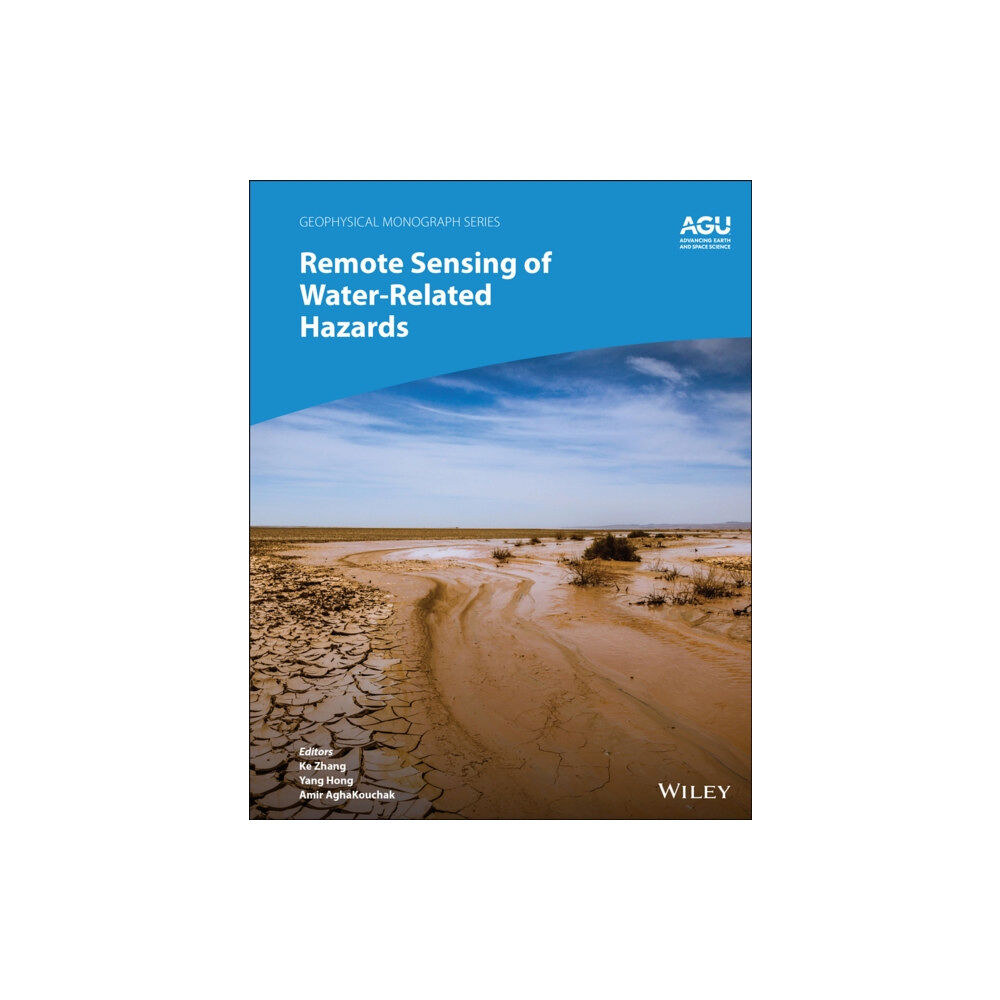
- Remote Sensing of Water-Related Hazards (inbunden, eng)

Remote Sensing of Water-Related Hazards (inbunden, eng)
Applications of remote sensing technology for monitoring and predicting water-related hazards Water-related hazards such as floods and droug...
2 145 kr
Slut i lager
- Fri frakt
Fri frakt över 299:-
Snabb leverans
Alltid låga priser
Produktbeskrivning
Applications of remote sensing technology for monitoring and predicting water-related hazards Water-related hazards such as floods and droughts have serious impacts on society. Their incidence has increased in recent decades, a trend set to continue with ongoing climate change.
Adaptation and mitigation measures require accurate detection, monitoring, and forecasting, much of which comes from remote sensing technologies. Remote Sensing of Water-Related Hazards takes an interdisciplinary approach, presenting recent advances in the available data, sensors, models, and indicators developed for monitoring and prediction.
Volume highlights include: Progress in remote sensing of precipitation, storms, and tornadosDifferent techniques for flood mapping, forecasting, and early warningIntegrated approach for predicting flood and landslide cascading hazardsSatellite monitoring of water cycle variation, water scarcity, and drought conditionsMulti-indicator and multi-sensor approaches for quantifying drought impactsThe American Geophysical Union promotes discovery in Earth and space science for the benefit of humanity.
Its publications disseminate scientific knowledge and provide resources for researchers, students, and professionals.
| Format | Inbunden |
| Omfång | 272 sidor |
| Språk | Engelska |
| Förlag | John Wiley & Sons Inc |
| Utgivningsdatum | 2022-04-01 |
| ISBN | 9781119159124 |
Specifikation
Böcker
- Inbunden, 272, Engelska, John Wiley & Sons Inc, 2022-04-01, 9781119159124
Leverans
Vi erbjuder flera smidiga leveransalternativ beroende på ditt postnummer, såsom Budbee Box, Early Bird, Instabox och DB Schenker. Vid köp över 299 kr är leveransen kostnadsfri, annars tillkommer en fraktavgift från 29 kr. Välj det alternativ som passar dig bäst för en bekväm leverans.
Betalning
Du kan betala tryggt och enkelt via Avarda med flera alternativ: Swish för snabb betalning, kortbetalning med VISA eller MasterCard, faktura med 30 dagars betalningstid, eller konto för flexibel delbetalning.
Specifikation
Böcker
- Format Inbunden
- Antal sidor 272
- Språk Engelska
- Förlag John Wiley & Sons Inc
- Utgivningsdatum 2022-04-01
- ISBN 9781119159124
