- Hem
- Böcker
- Kurslitteratur
- Geografi & Kartor
- Collins School Atlas (häftad, eng)
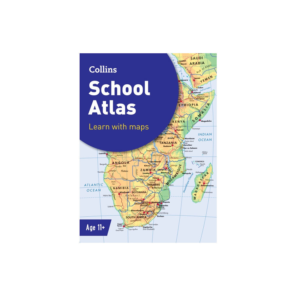
Collins School Atlas (häftad, eng)
The must-have atlas for pupils aged 11-14Fully updated for 2022-2023, this world atlas is designed to support Key Stage 3 students aged 11-1...
154 kr
169 kr
Bara 3 kvar
Skickas inom 4 - 5 vardagar
Fri frakt över 299:-
Snabb leverans
Alltid låga priser
Produktbeskrivning
The must-have atlas for pupils aged 11-14Fully updated for 2022-2023, this world atlas is designed to support Key Stage 3 students aged 11-14 years in developing their geographical and mapping skills. The content follows requirements of the National Curriculum and has been reviewed by educational experts.A clear, easy-to-read ‘Introducing Atlas Maps’ section explains key information and encourages development of map, atlas and data handling skills.
Comprehensive reference maps include facts, photos, map keys and engaging descriptive text. An extended ‘World’ section covers all the global issues required by the National Curriculum, such as population, climate change and environmental issues.· Fully updated for the 2022-2023 school term· Clearly explains key information such as latitude and longitude, scale, projections, distance, symbols, satellite images and GIS· Includes focus country studies and covers global issues required by the National Curriculum· Map coverage of the United Kingdom and Ireland, Europe, Asia, Africa, North America, South America, Oceania and Antarctica· Ideal for classroom use or home learning· Suitable for ages 11-14 (KS3 and S1-S2)This atlas is also available as an ebook (ISBN 9780008487140) The next atlas in the series is the Collins Student Atlas (ISBN 9780008430238).
Comprehensive reference maps include facts, photos, map keys and engaging descriptive text. An extended ‘World’ section covers all the global issues required by the National Curriculum, such as population, climate change and environmental issues.· Fully updated for the 2022-2023 school term· Clearly explains key information such as latitude and longitude, scale, projections, distance, symbols, satellite images and GIS· Includes focus country studies and covers global issues required by the National Curriculum· Map coverage of the United Kingdom and Ireland, Europe, Asia, Africa, North America, South America, Oceania and Antarctica· Ideal for classroom use or home learning· Suitable for ages 11-14 (KS3 and S1-S2)This atlas is also available as an ebook (ISBN 9780008487140) The next atlas in the series is the Collins Student Atlas (ISBN 9780008430238).
| Format | Häftad |
| Omfång | 104 sidor |
| Språk | Engelska |
| Förlag | HarperCollins Publishers |
| Utgivningsdatum | 2022-03-03 |
| ISBN | 9780008485955 |
Specifikation
Böcker
- Format Häftad
- Antal sidor 104
- Språk Engelska
- Förlag Harpercollins Publishers
- Utgivningsdatum 2022-03-03
- ISBN 9780008485955
Leverans
Vi erbjuder flera smidiga leveransalternativ beroende på ditt postnummer, såsom Budbee Box, Early Bird, Instabox och DB Schenker. Vid köp över 299 kr är leveransen kostnadsfri, annars tillkommer en fraktavgift från 29 kr. Välj det alternativ som passar dig bäst för en bekväm leverans.
Betalning
Du kan betala tryggt och enkelt via Avarda med flera alternativ: Swish för snabb betalning, kortbetalning med VISA eller MasterCard, faktura med 30 dagars betalningstid, eller konto för flexibel delbetalning.
Specifikation
Böcker
- Format Häftad
- Antal sidor 104
- Språk Engelska
- Förlag Harpercollins Publishers
- Utgivningsdatum 2022-03-03
- ISBN 9780008485955